Home >
Sea Kayaking >
Blogs >
England, Cumbria
2021-08-28, Walney Island
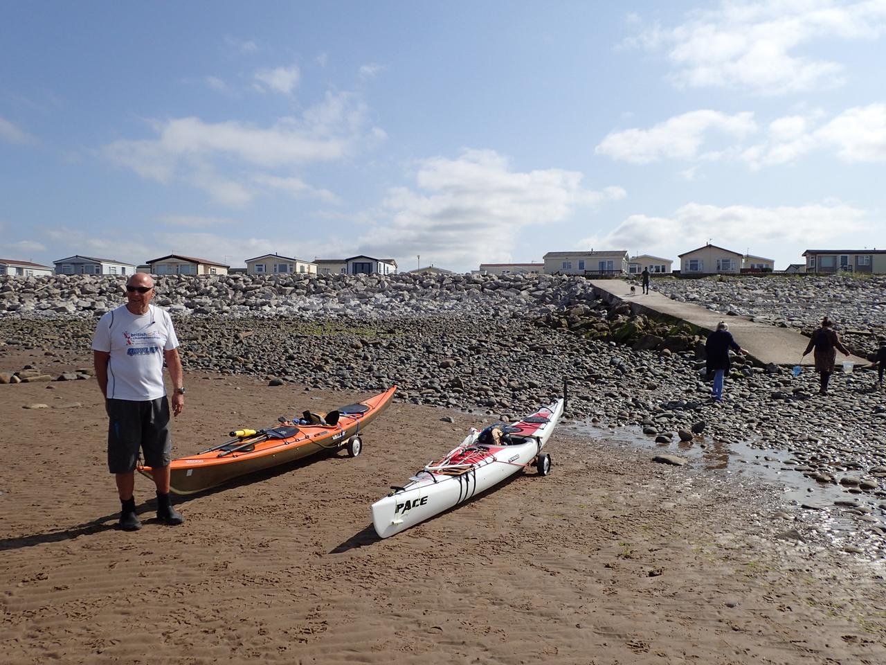
Circumnavigation of Walney Island, Cumbria. We started at Earnse Point about 4 hours before HW Liverpool. There is car parking and public toilets fairly close to the slipway but the sea is very shallow off Walney and a trolley is recommended. The trip is about 20 miles but there should be tidal assistance for most of the way. The launching area is fine at low tide but we had a tricky landing at the end with small breaking surf onto the slipway. It's worth looking at the map on the following link to see the shallows by selecting the aerial view on the dropdown map selector in the top right hand corner.
Map with GPS track (click on icons):
Open Maps
Bing (OS)
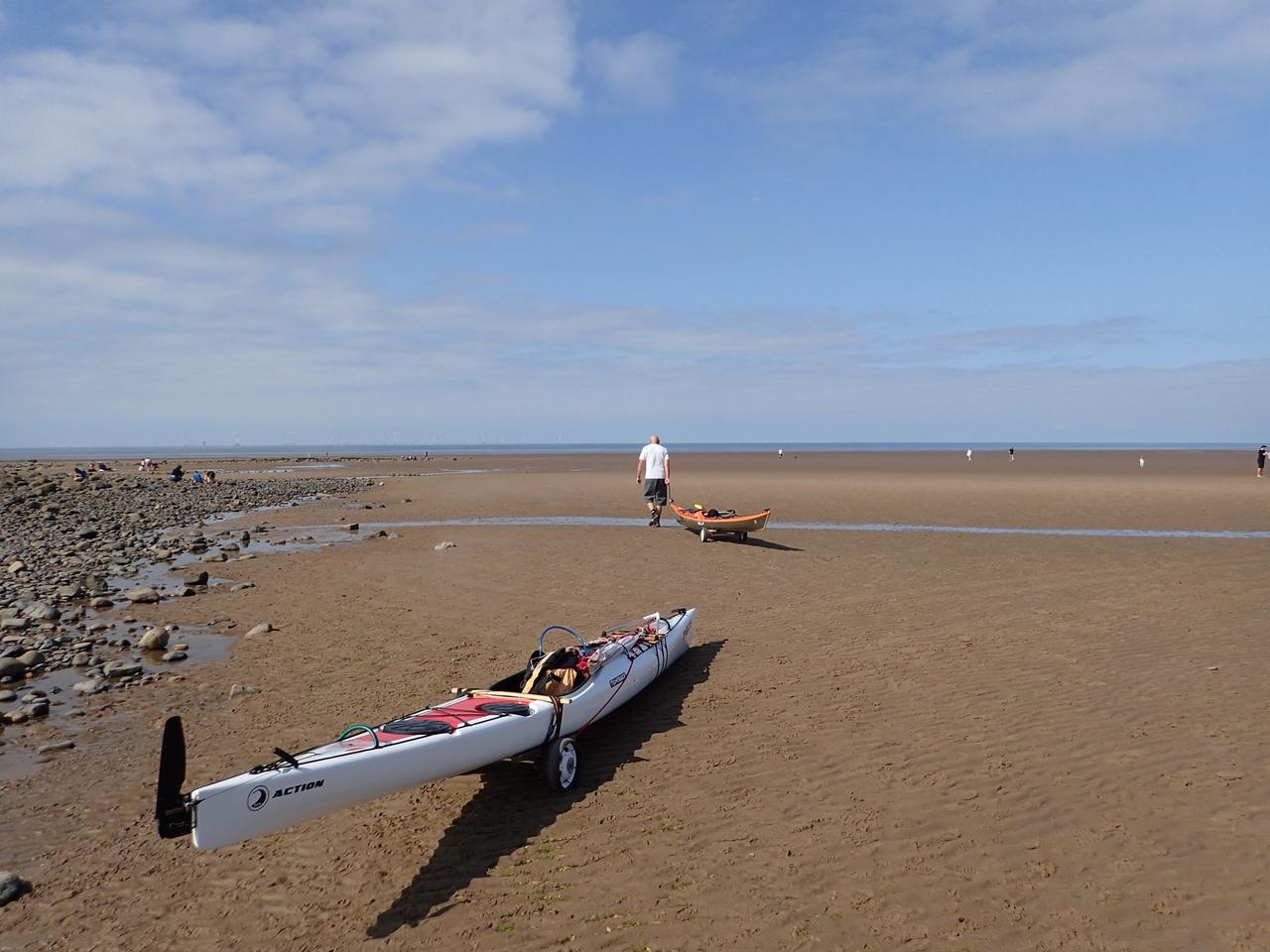
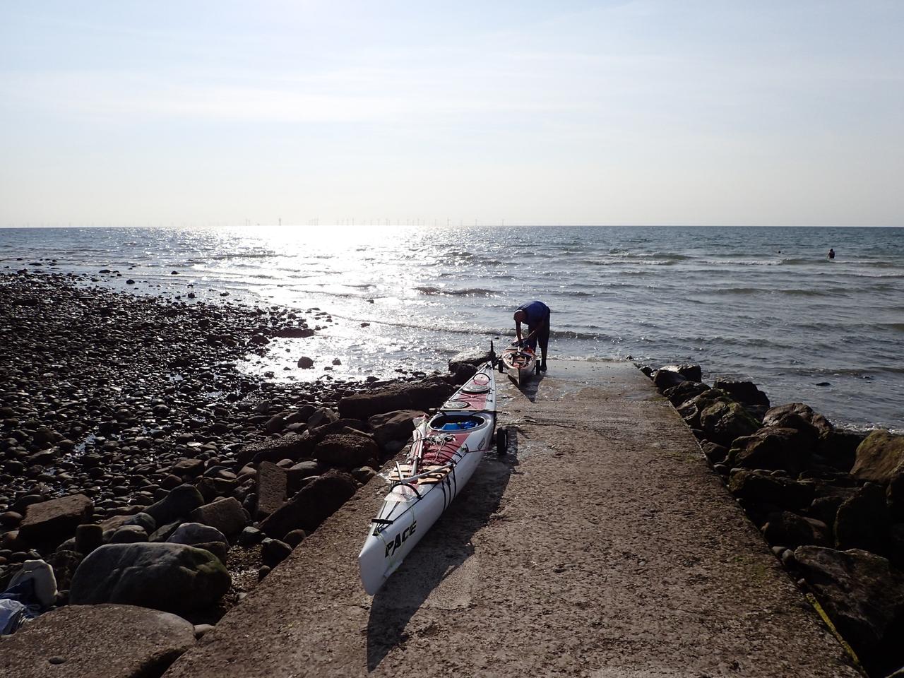
It was about 500 metres to the water
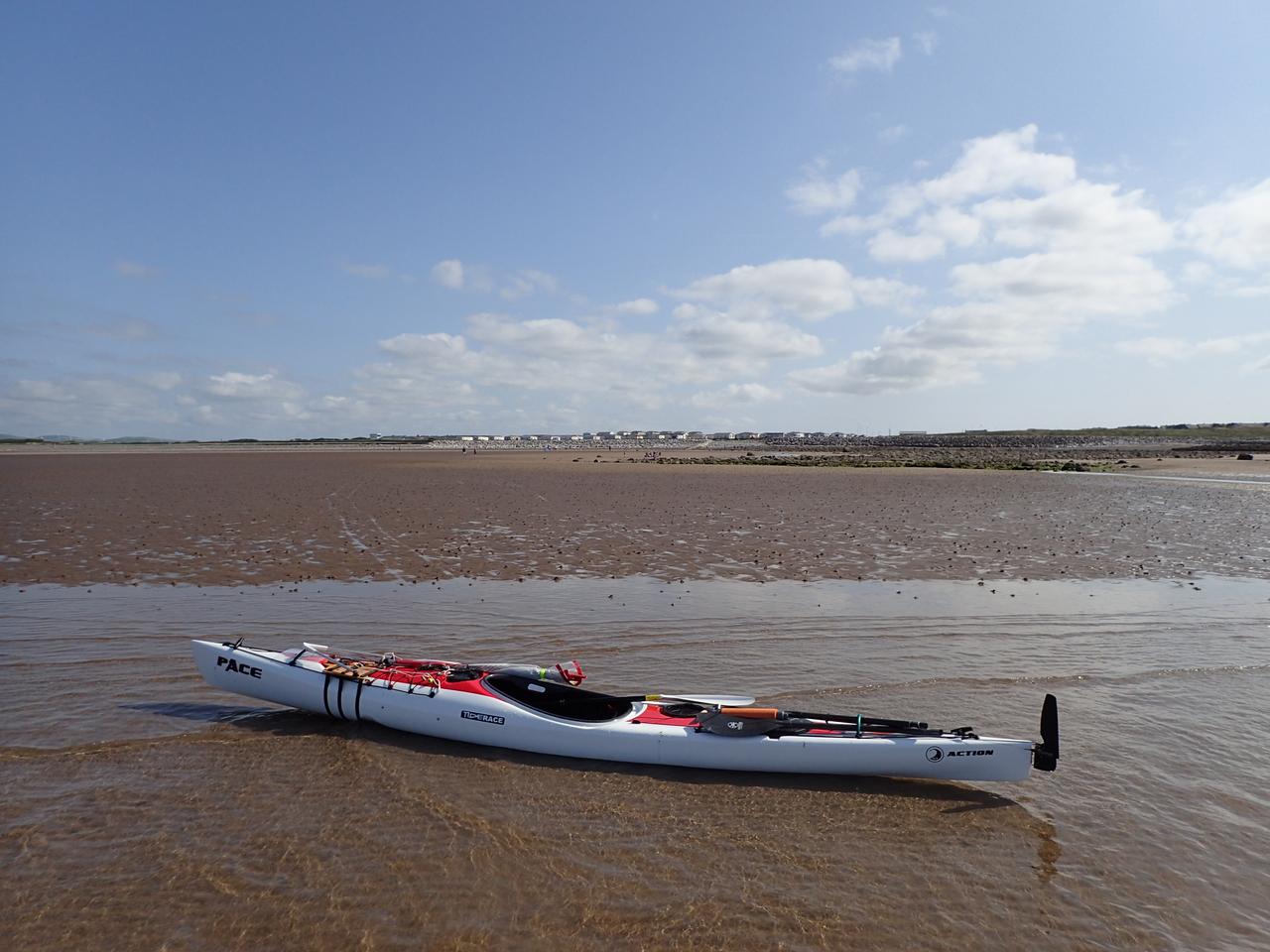
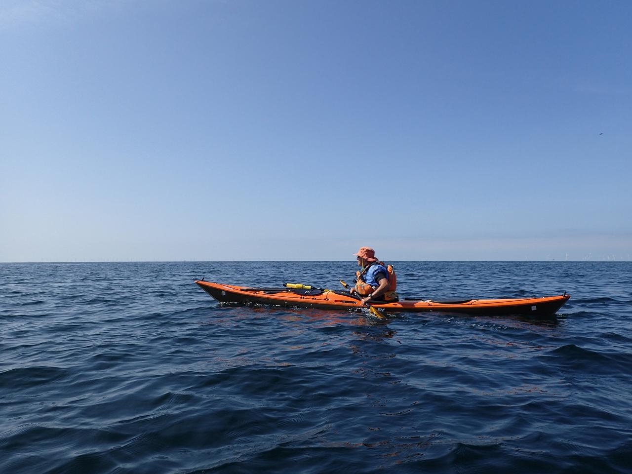
Setting off I knew there would be some assistance from the tide which floods from the north so we headed out at an angle to almost a kilometre off shore. There was about 1.5 kmh flow in our direction. Countless windmills offshore, hardly visible in the pictures.
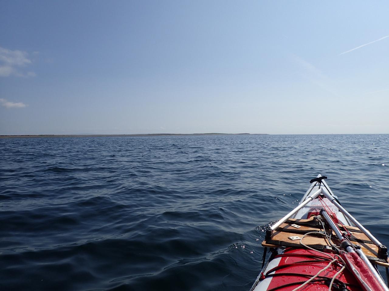
It's a long drag down the west shore but there was interesting navigation staying offshore with the flow
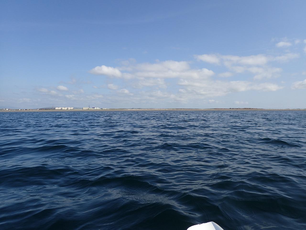
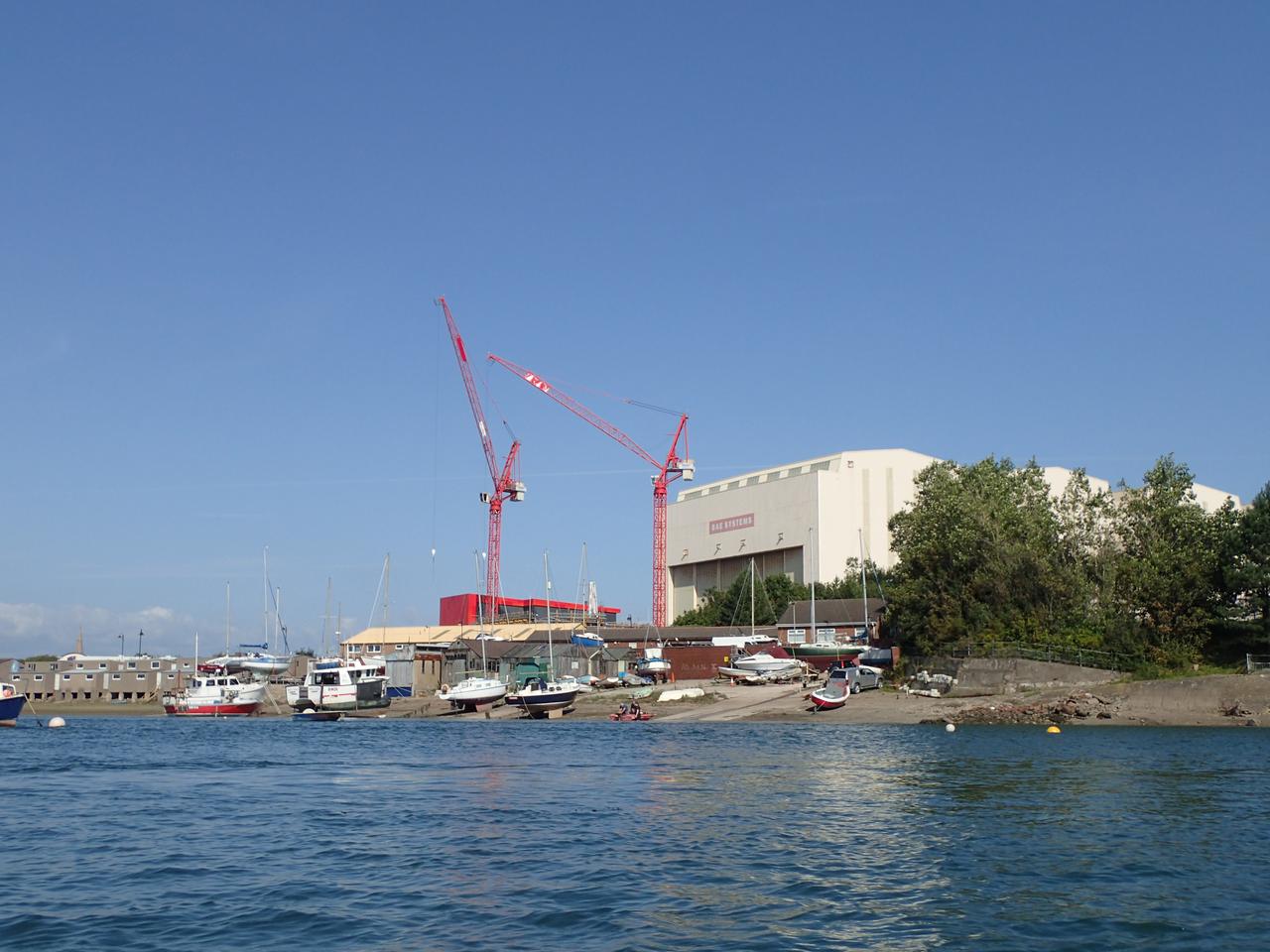
BAE buildings visible just beyond Walney
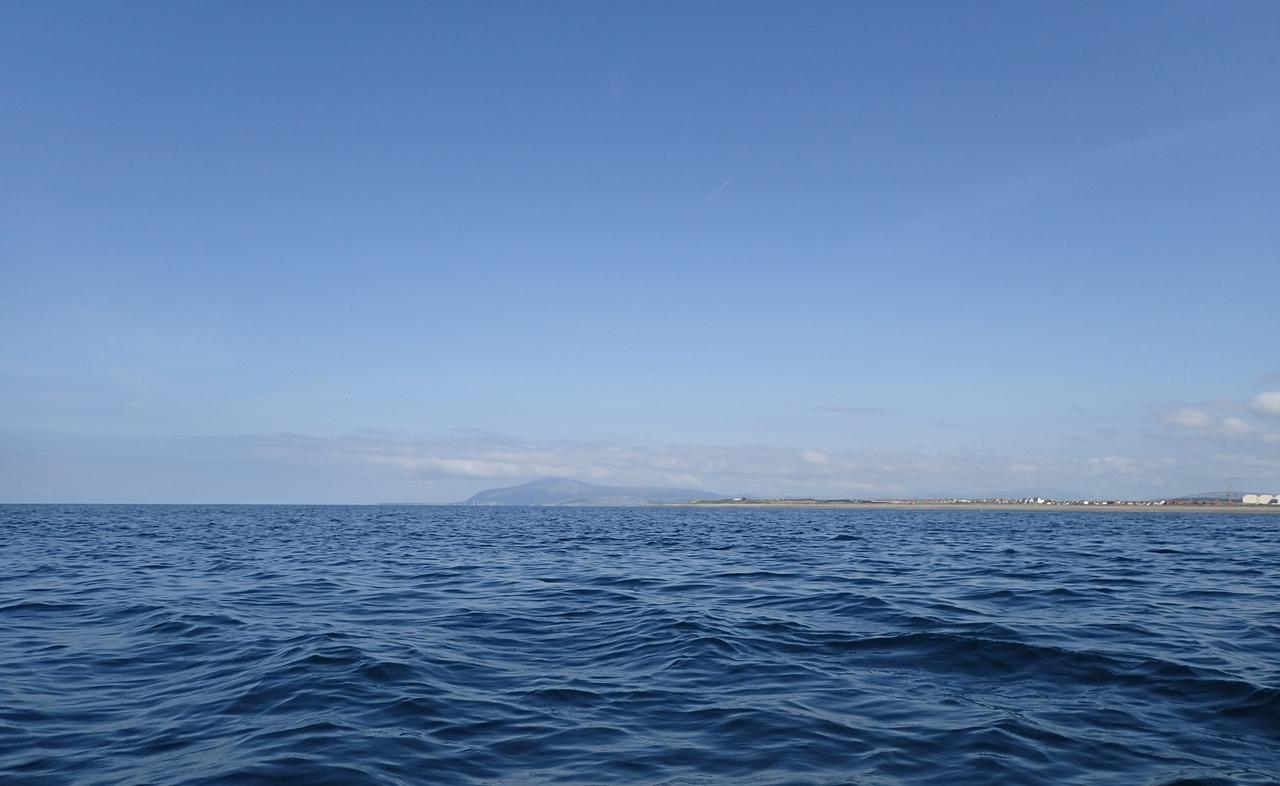
The imposing Black Combe fell in the background behind us
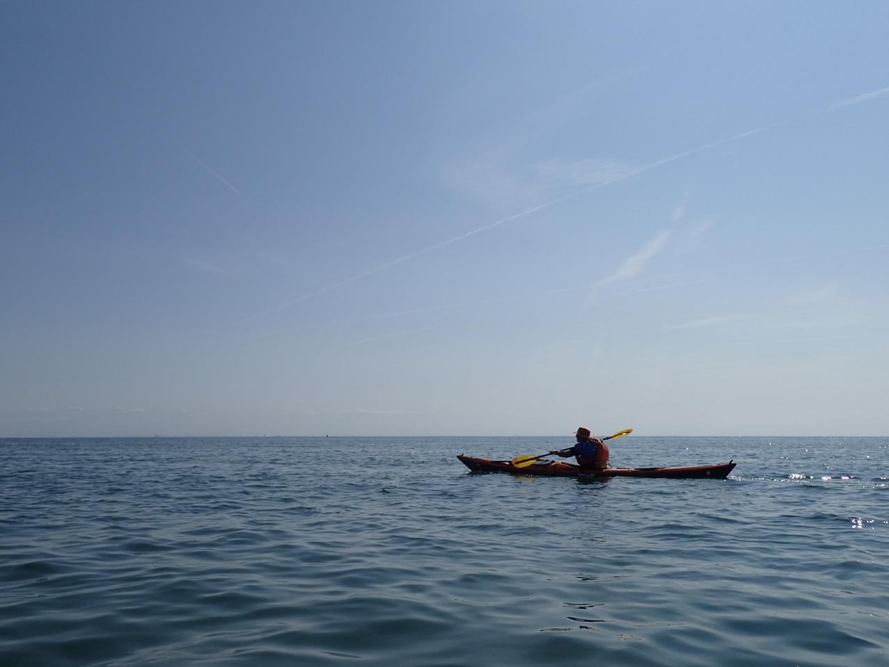
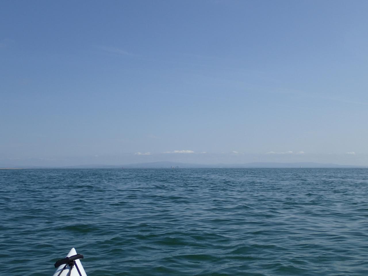
Further on Heysham power station came into view
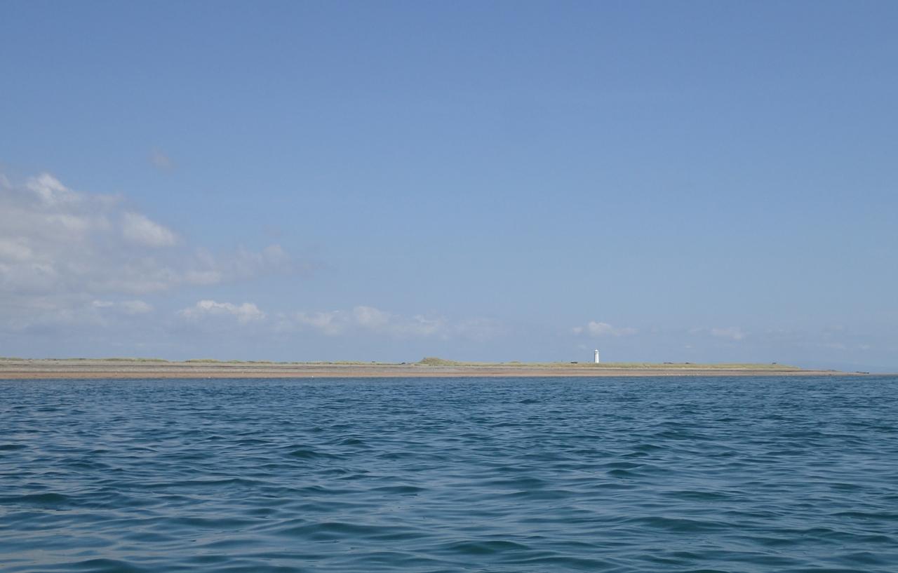
Approaching the end of the island we'd gradually come in closer to the shore
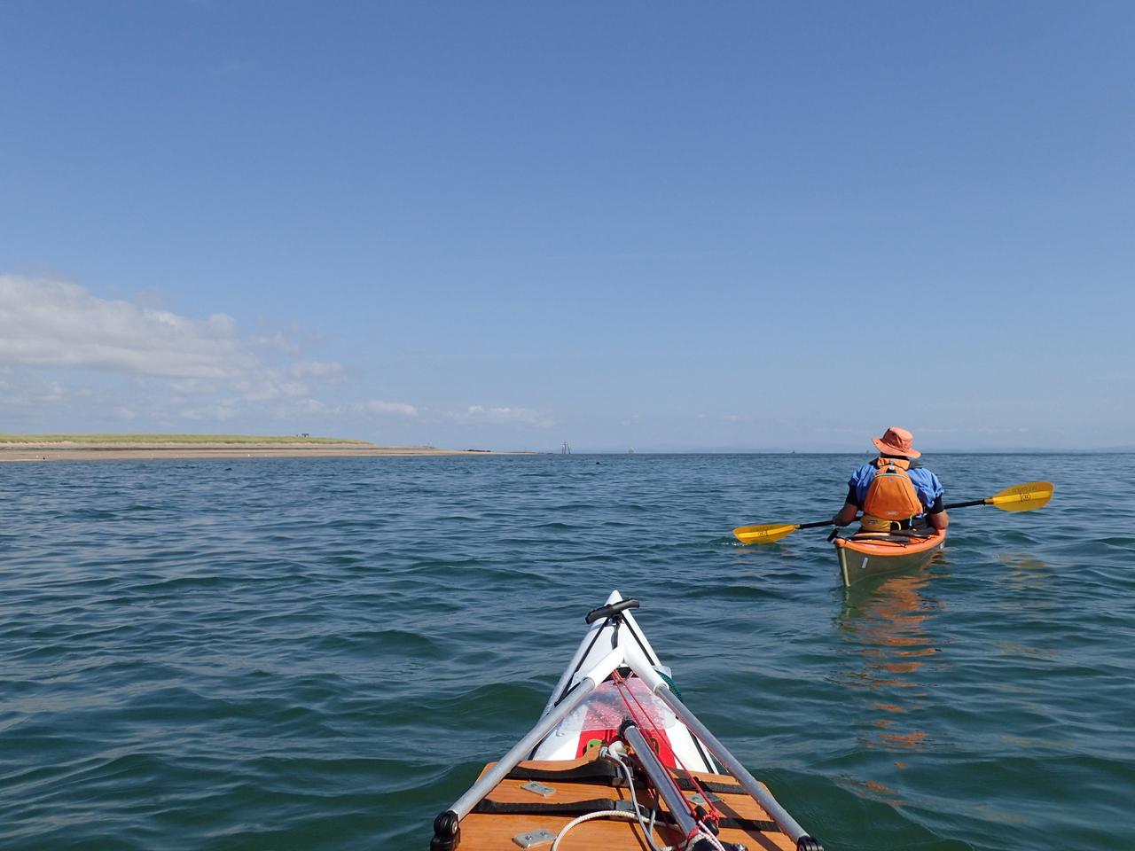
A few seals appeared but they were shy, you can just make out one in the distance in line with my kayak
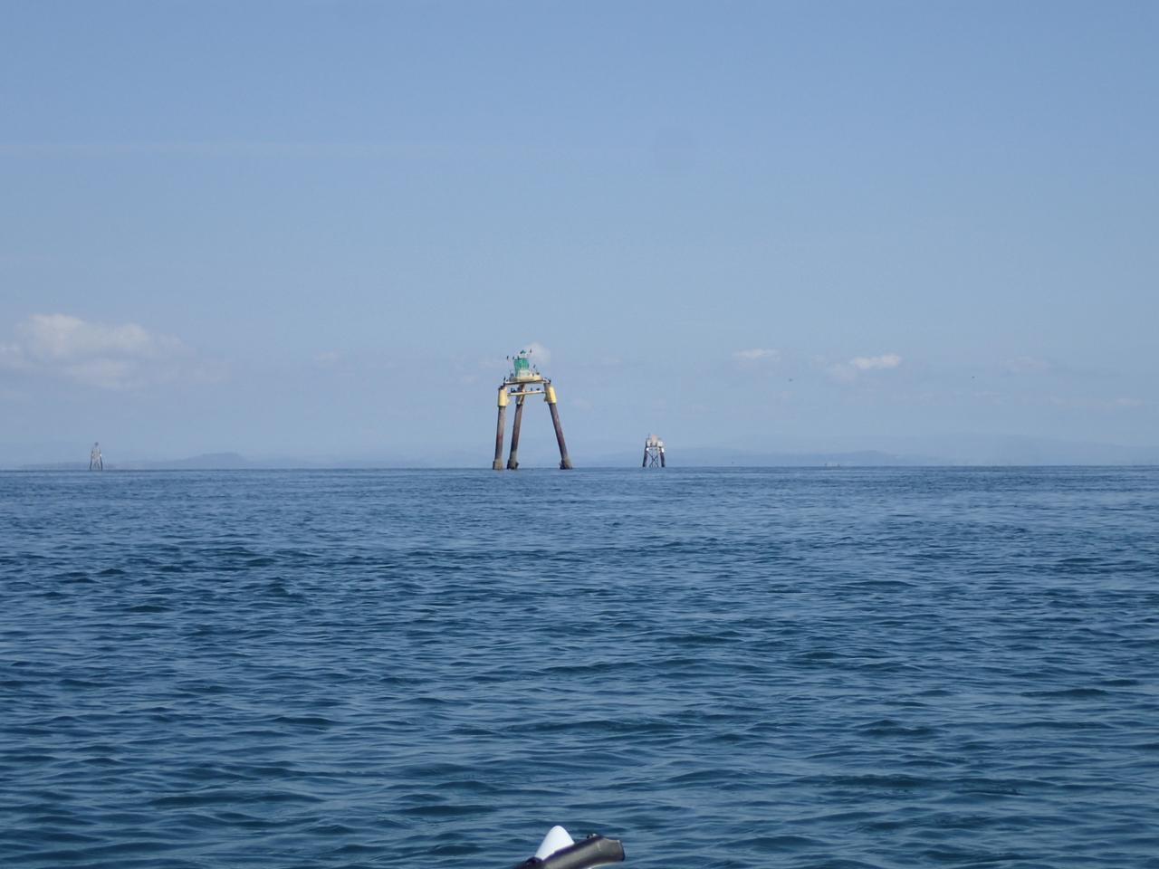
Then the Martians were upon us !
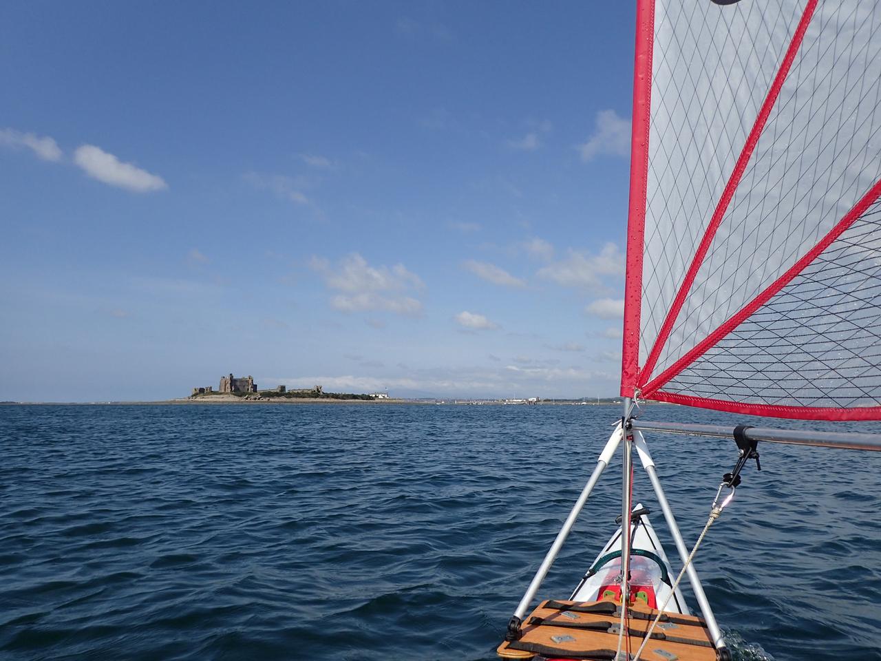
Rounding the southern end some wind appeared and I had a chance to try out the new sail. If you're wondering what the contraption on the deck is I'm experimenting with 'rigid rigging' and for the time being don't want to drill any holes in the boat, hence a platform strapped around the hull to support the sail. That's Piel Island in front where we'd planned to stop for a break.
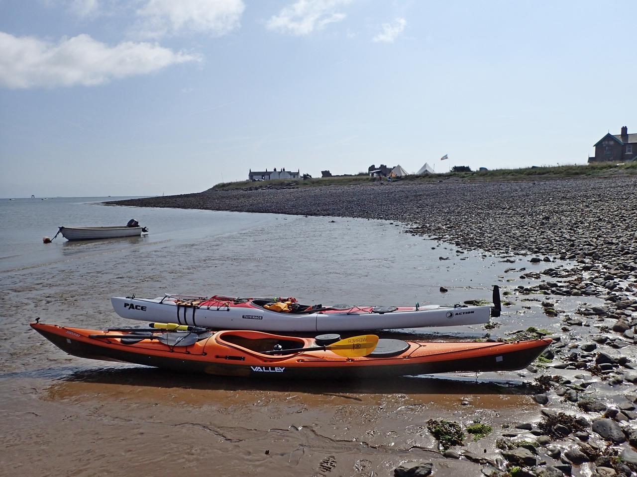
It looked like there was 'glamping' style tents
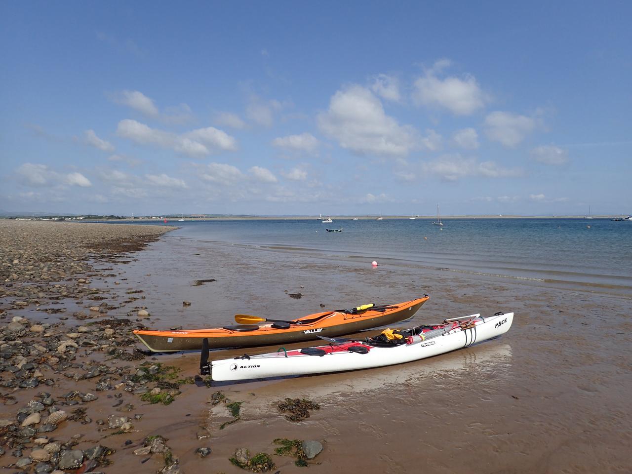
We were aware of the time and we needed to be up the main channel to the 'meetings' before the tide turned, so we only stopped for time enough to stretch and eat
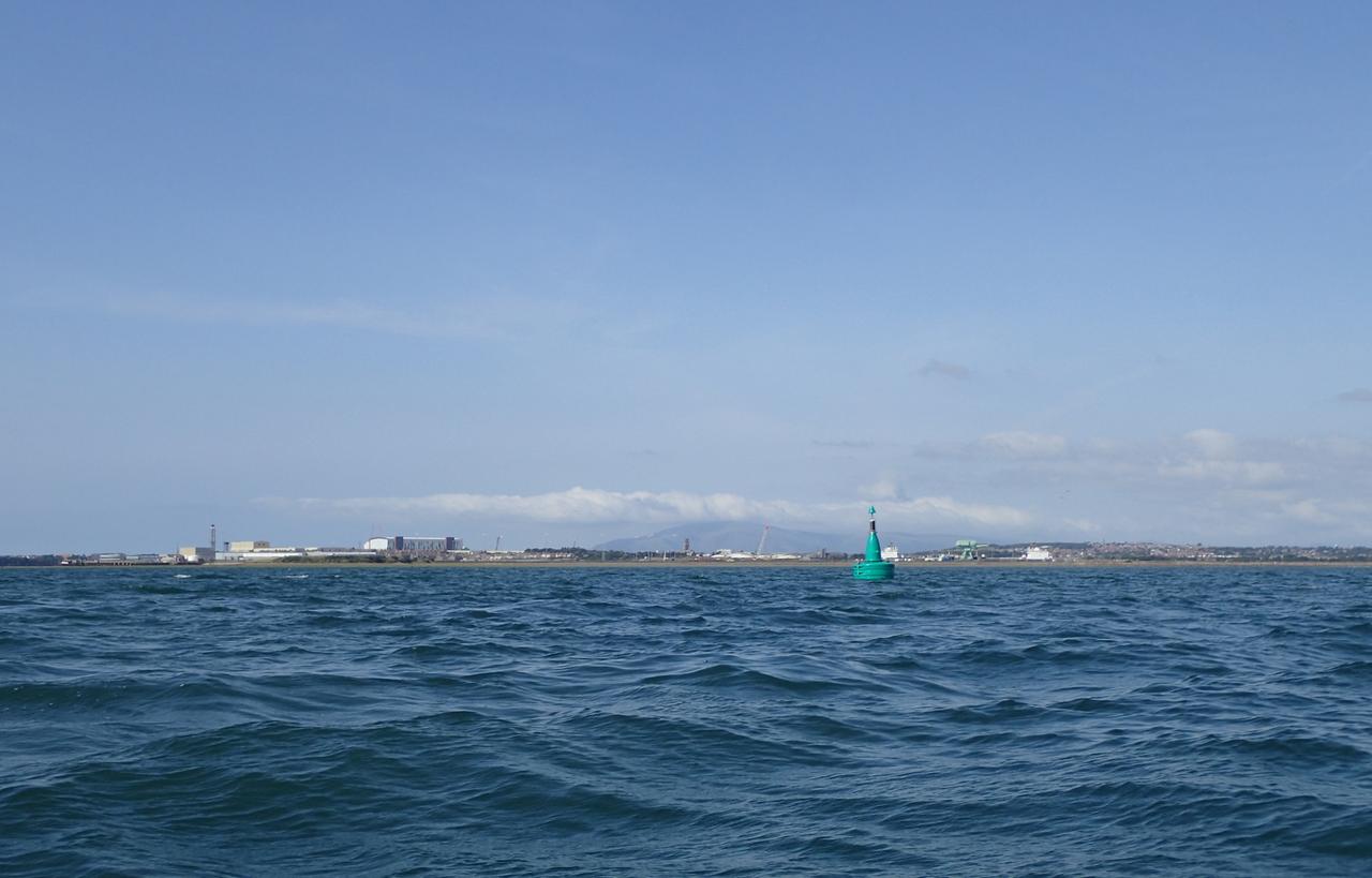
Leaving Piel we headed up the main channel with the flood tide at over 10 kmh but straight into the wind so it was choppy and felt like hard work
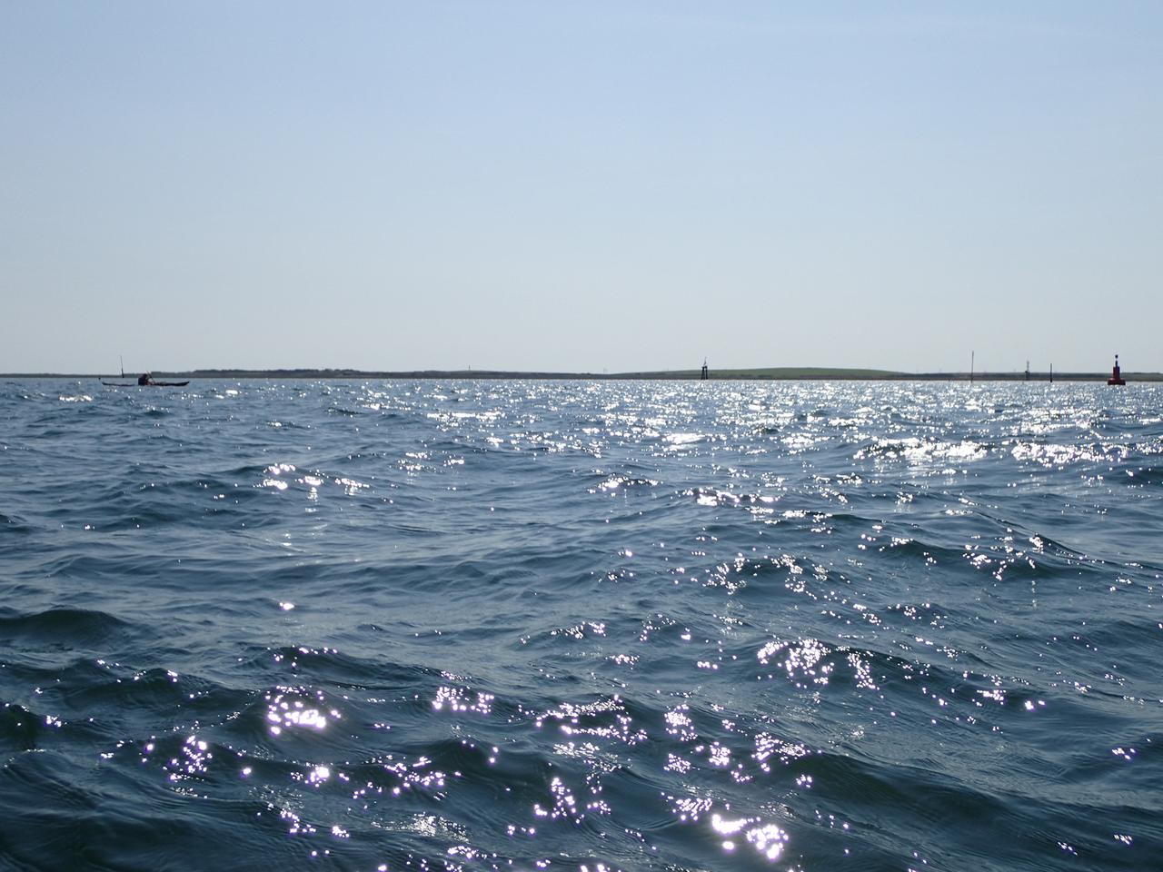
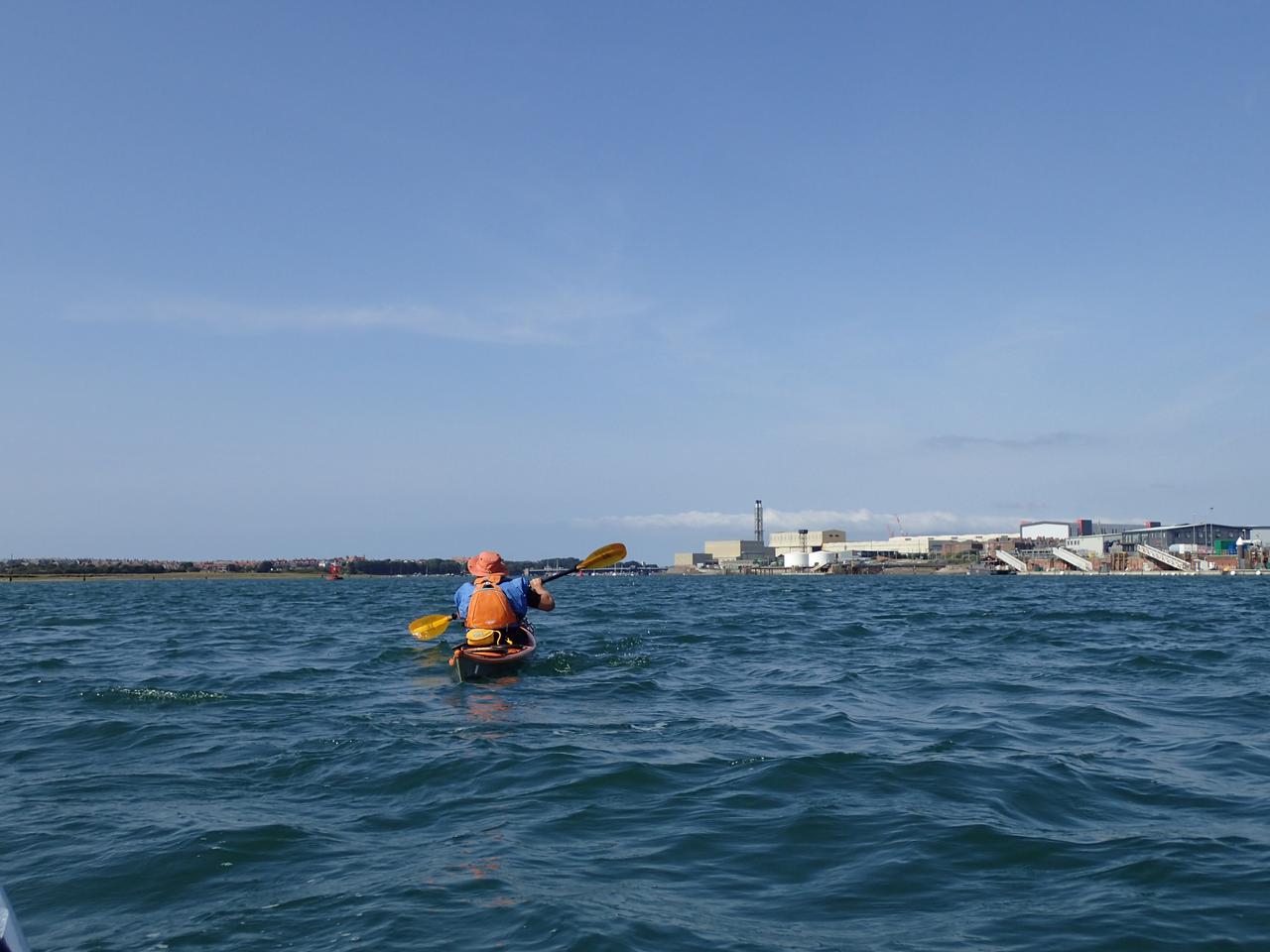
Approaching the industrial area with the channel narrowing and the bridge in sight
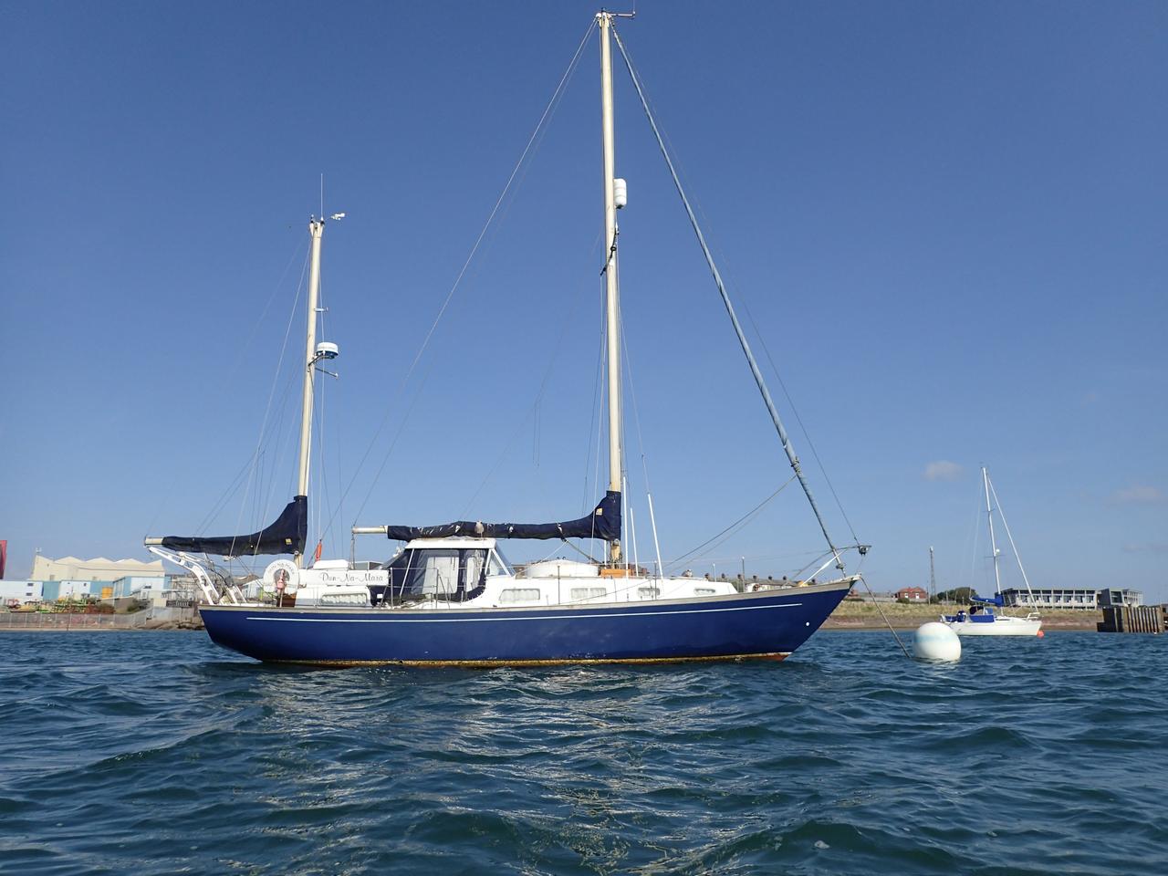
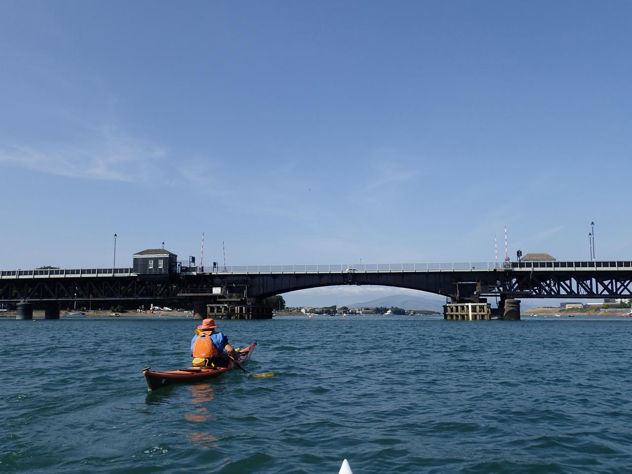
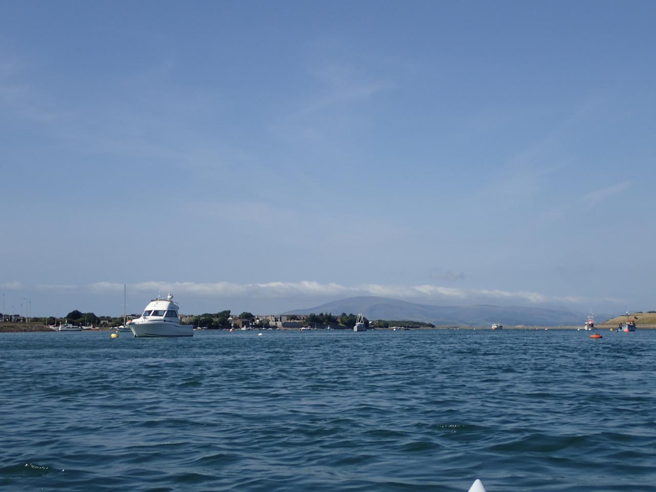
Calmer waters in the northern section
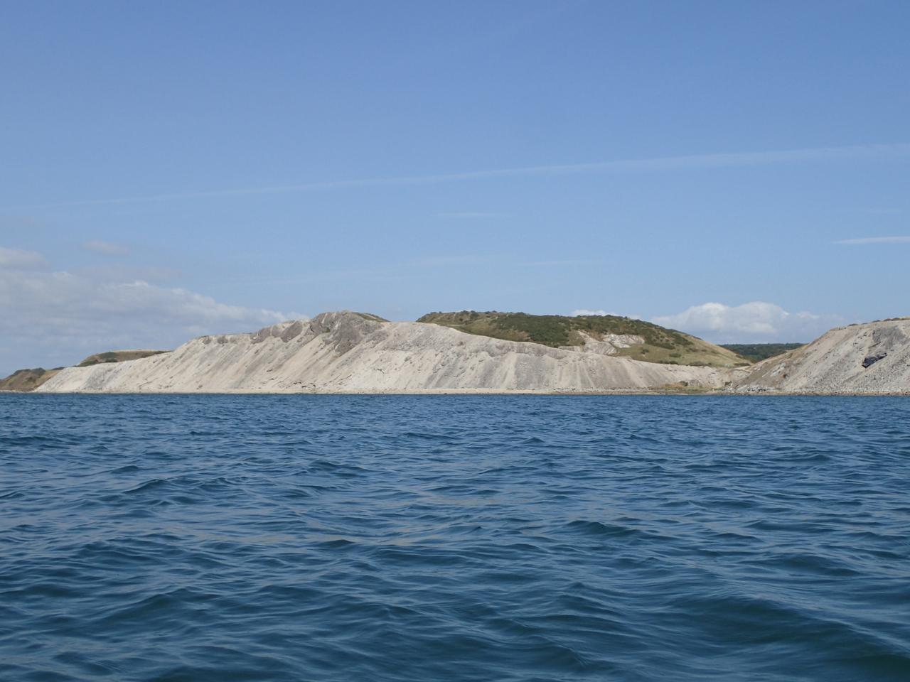
Slag heaps on the mainland, the dip to the right of centre is one side of a potential walkway across the channel at low tide.
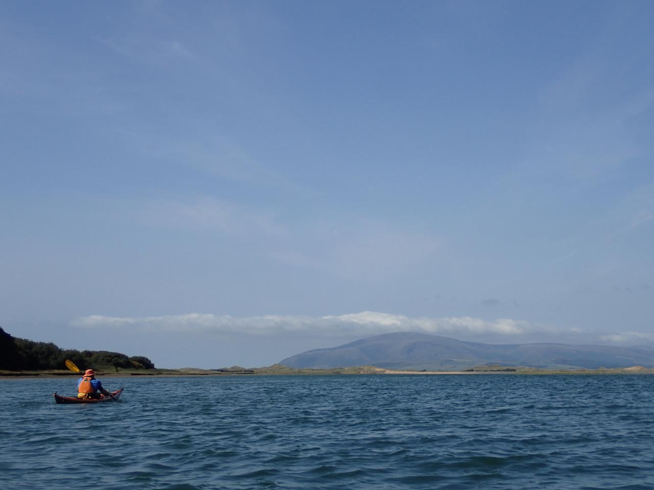
Majestic Black Combe in the distance with an inviting beach at the northern end of the island
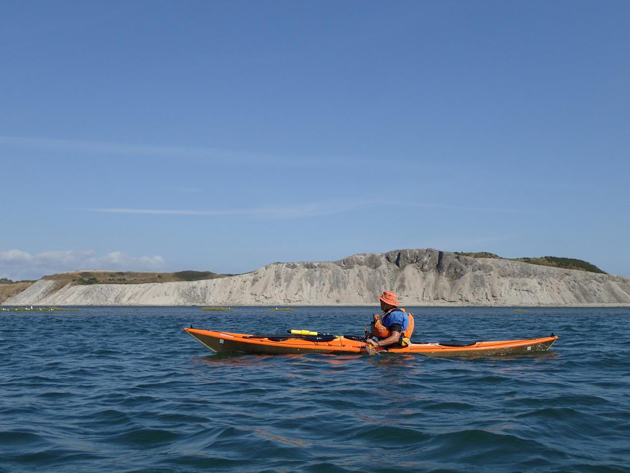
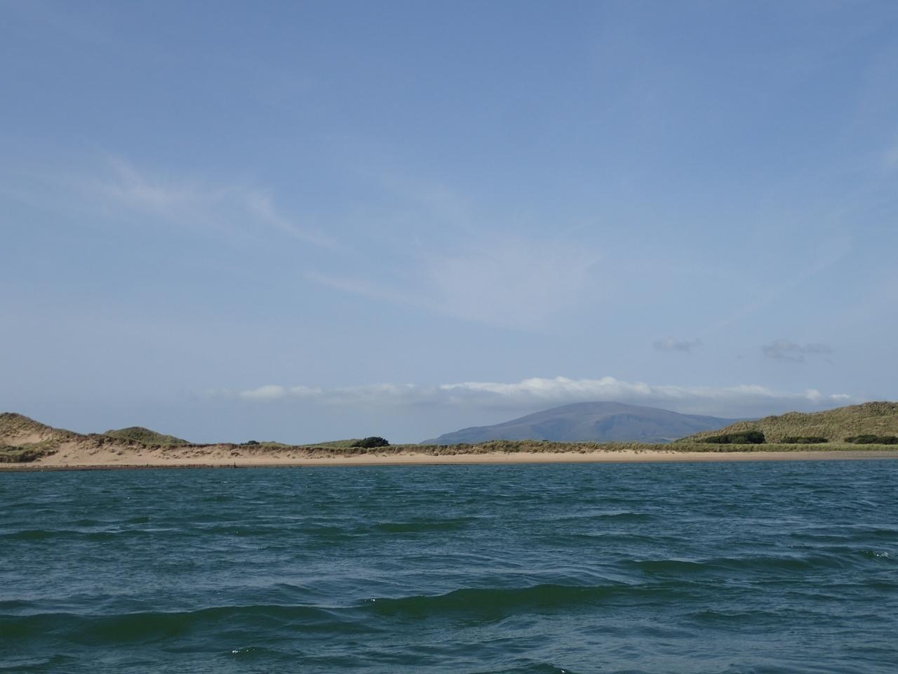
I headed into the wind towards the sandy beach...
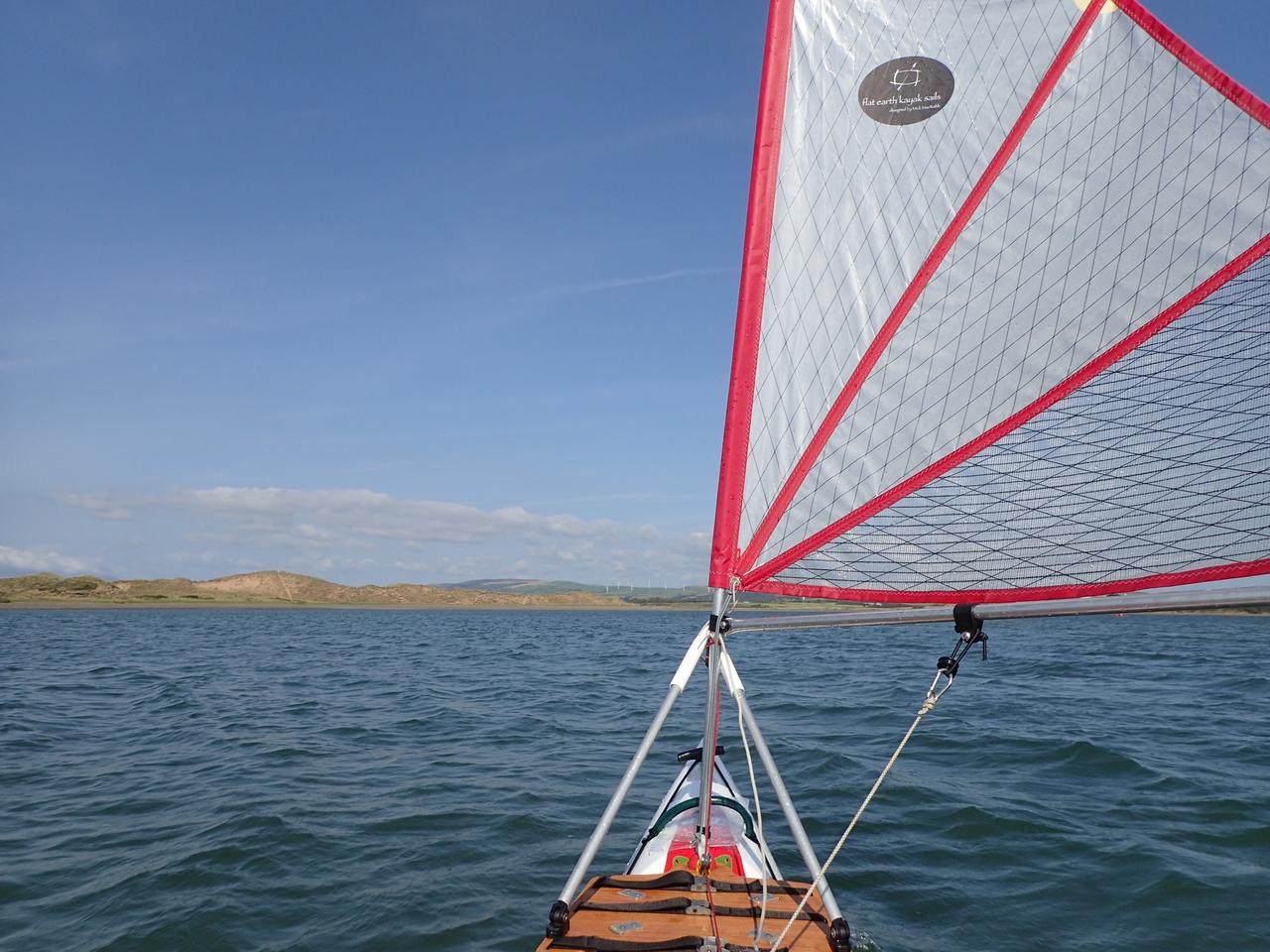
...so I could bear away and hoist the sail again to head NE towards the tip of the island
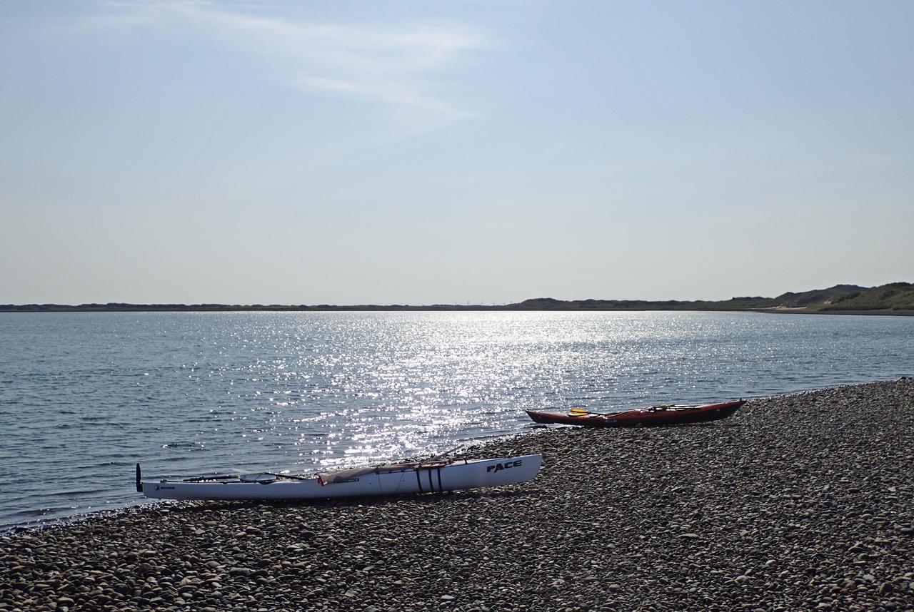
We stopped briefly to look across to Lowsy point where there are some unusual habitations, the plan was to visit them but there was a significant wind coming through the gap and the flow was going out of the channel into the wind. It might have been an eddy or the tide starting to ebb but we decided to continue before conditions became any more exciting.
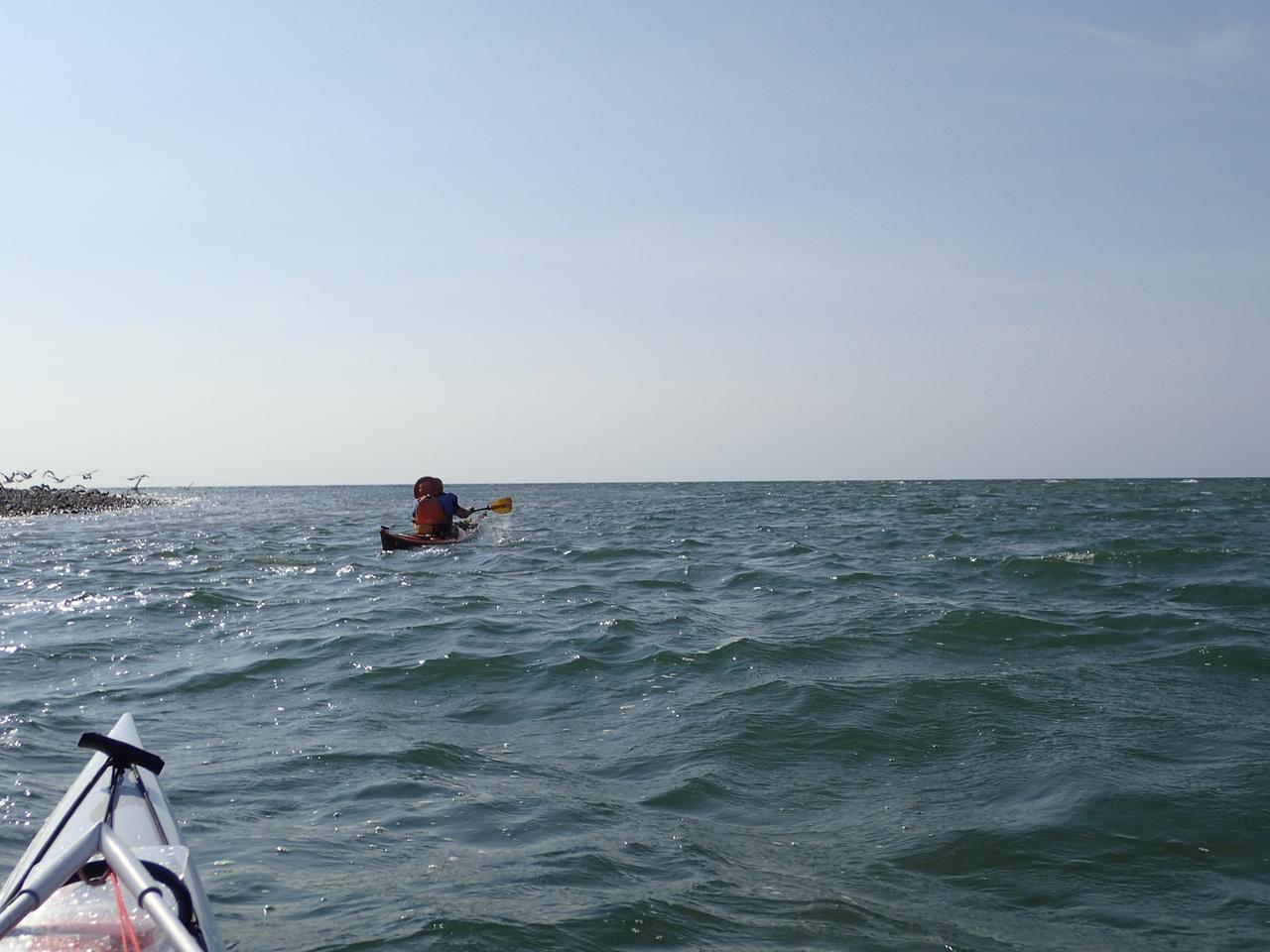
The sea just beyond the northern end of Walney is shallow and there was choppy water as we headed around the end of the island.
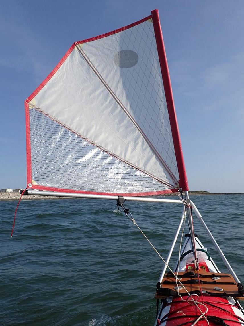
After a couple of kilometres following the shoreline and avoiding the small breakers we were heading south and the wind direction was such that I could hoist the sail for a most enjoyable paddle-sail back to the start.
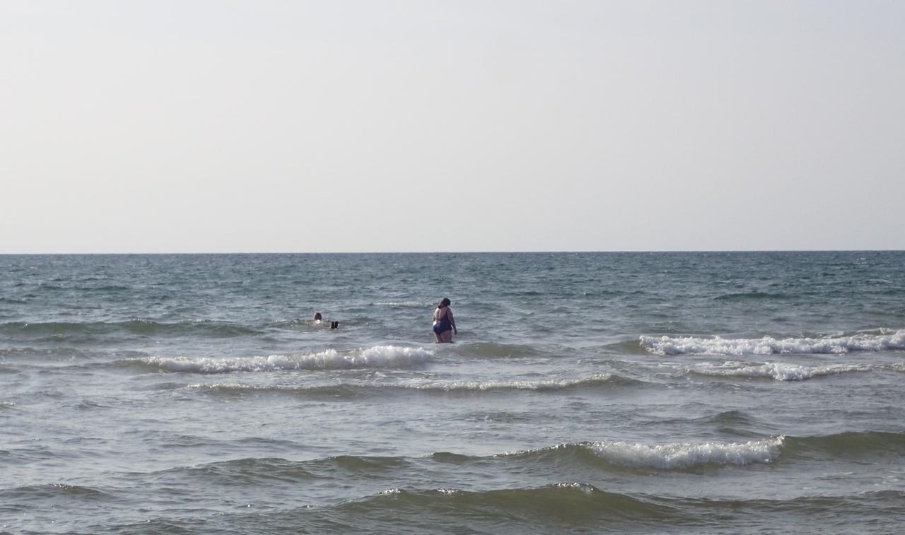
As we landed a couple of locals were in for a swim - the water was warm
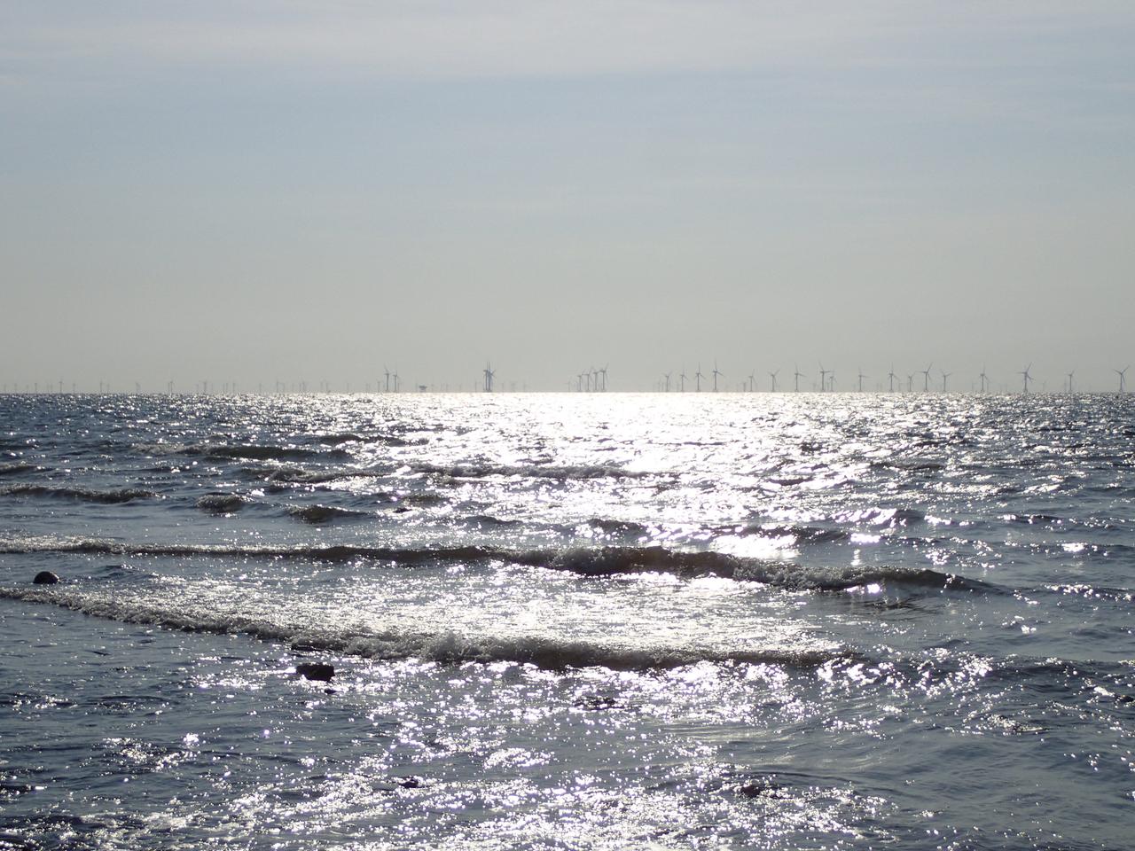
Zooming in to show the windfarms
Home >
Sea Kayaking >
Blogs >
England, Cumbria
© Jules Kayak 2024, last updated: May 2024


